

In early March 2026, flash floods swept through Nairobi and at least 12 other Kenyan counties — killing more than 43 people, displacing nearly 5,000 households, and destroying vehicles, homes, and farmland. Flights were diverted. Roads were swallowed. Families lost everything overnight. As Wilper Ventures, our hearts continue to be with those who lost their loved ones and livelihoods.
Land that floods catastrophically in March or April can appear rock-solid in August. If you are asking how to know if land floods in Kenya — whether you are about to buy or have already bought — here are the concrete, evidence-based signs you must look for to assess your flood risk before the rains answer the question for you.
1. Check the Elevation and Topography Relative to the Surrounding Land
Water obeys gravity. It always moves from high ground to low ground. If your land sits in a depression, a valley, or at the base of a slope, it is collecting water from a much larger area than just the rainfall that falls directly on it.
Ask yourself: when it rains, where does water from the surrounding land naturally flow? If the answer is “toward your plot,” you have a flood-risk property, regardless of how dry it looks today.
What to do: Visit a topographic map of the area. In Kenya, the Survey of Kenya produces these, and tools like Google Earth allow you to assess elevation profiles for free. A difference of even 2–3 metres in elevation compared to neighbouring land is significant.
2. Measure Your Distance from a River, Stream, or Seasonal Watercourse
This is perhaps the single most critical indicator. Kenyan law — specifically the Water Act — designates riparian reserves of at least 30 metres on either side of any river or stream. Building or buying within this zone is not just risky, it is illegal.
Yet it happens constantly. Unscrupulous developers “encroach with impunity” on riparian zones across the country, and attempts to reverse these encroachments have repeatedly faltered due to legal and political resistance.
The Nairobi River — which burst its banks on the night of 6–7 March 2026, triggering the current disaster — has had settlements and commercial properties built along its edge for decades.
What to do: Stand on the land and look for the nearest watercourse, including those that appear dry. Walk it during the dry season. If there is a sandy bed, smooth, rounded stones, or a channel carved into the earth, it carries water during the rains. Measure your distance carefully.
3. Look at the Soil Type and Vegetation — Nature Leaves Clues
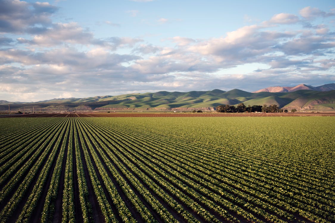
Soils that have been regularly flooded have a distinct character. They tend to be dark, heavy, and clay-rich — because fine sediment settles out of slow-moving floodwater. Clay soils also have very low permeability, meaning rain cannot soak in, and instead runs off or ponds.
Vegetation also tells a story that dry-season appearances cannot hide:
- Papyrus, reeds, bulrushes, and water hyacinth grow in or near areas with seasonal standing water.
- Waterlogged-tolerant grasses (coarse, thick-bladed varieties) often dominate floodplain edges.
- Absence of trees on flat land near rivers often indicates the trees were killed by previous flooding.
- Silt deposits on fence posts, walls, or tree trunks — look for mud stains higher than ground level. This is direct physical evidence of a past flood waterline.
4. Inspect Existing Structures for Flood Evidence
If there are old buildings, walls, or infrastructure on or near the land, they are a historical record. Check them carefully:
- Watermarks and staining on the lower portions of walls indicate flood levels reached in previous years.
- Cracked or eroded foundations on the downstream side of structures suggest repeated water force.
- Raised thresholds and steps on older buildings — if previous owners built doorways deliberately high, ask why.
- Tilted or displaced structures can indicate soil movement caused by saturation.
Neighbours are also an invaluable resource. Ask them directly: “Has this area ever flooded?” Long-term residents, especially older ones, will tell you the truth even when sellers will not.
5. Study the Land Cover and History of the Surrounding Catchment
What happens upstream from your land matters as much as the land itself. Kenya’s current flood disaster is partly rooted in what researchers call catchment degradation — the destruction of forests, wetlands, and grasslands that once slowed and absorbed rainfall before it became runoff.
According to the East African Flood Model, converting a forested catchment to bare pasture can increase the peak flood magnitude by as much as 20 times. Over 90% of Kenya’s northern rangelands have experienced significant land degradation.
If the area upstream from your land has been recently deforested, overgrazed, or converted to hardscape (roads, pavement, rooftops), the flood risk on your land has likely increased — even if the land itself has not changed.
What to do: Use Google Earth’s historical imagery feature to look at how land use in your catchment area has changed over the past 10–20 years. Increasing development upstream means increasing flood risk downstream.
6. Consult Kenya Flood Risk Maps and Government Records
Kenya has formal tools for assessing flood risk, though they are underused:
- The Kenya Meteorological Department issues hazard maps and seasonal rainfall forecasts. Their 25 February 2026 advisory, which warned of rainfall exceeding 20 millimetres in 24 hours across the central highlands and Lake Victoria basin, was publicly available — but many landowners never saw it.
- County governments maintain zoning and land use records that indicate whether an area is classified as a floodplain or riparian reserve.
- The National Disaster Management Unit (NDMU) and the Kenya Red Cross have documented flood-prone areas from previous events.
- FEMA-equivalent flood maps do not exist in Kenya at scale, but NGOs and researchers have published flood hazard maps for specific regions, particularly around Nairobi, the Lake Victoria basin, the Tana River, and the coast.
What to do: Before purchasing, request zoning information from the relevant county lands office. Ask specifically whether the plot falls within a floodplain, wetland, or riparian reserve.
7. Visit the Land During — or Immediately After — the Rains
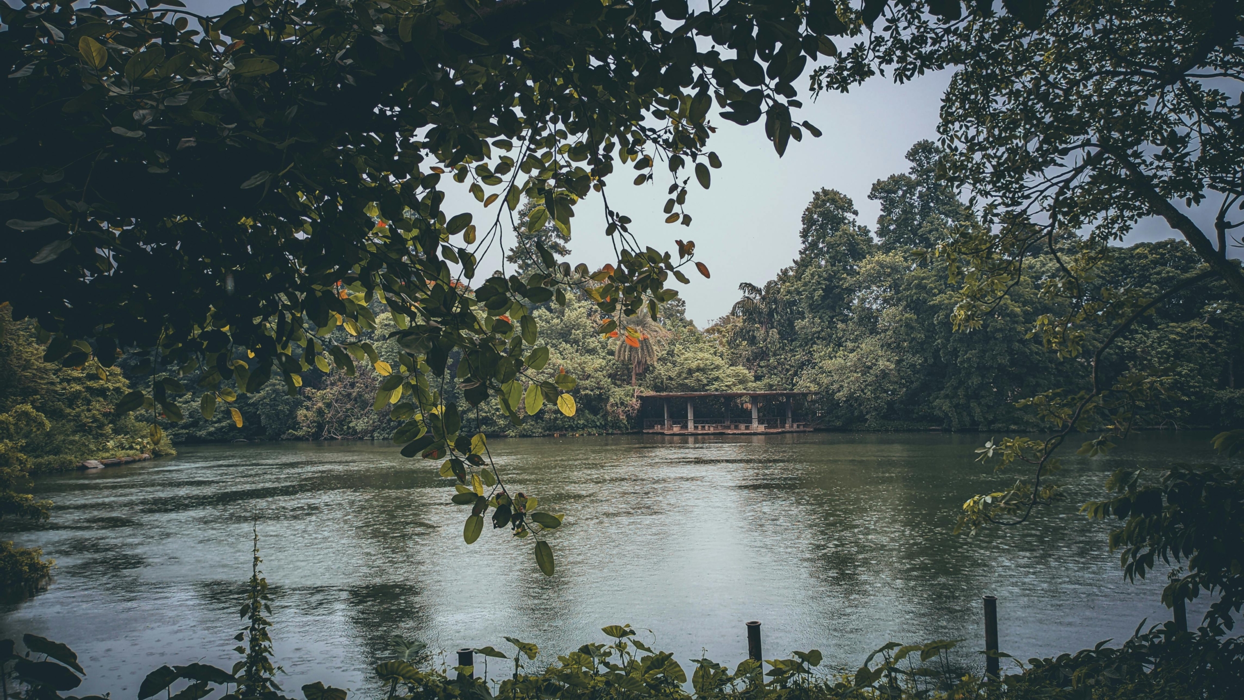
This sounds obvious, but it is the most reliable test available, and the one most buyers skip. If you can, visit the land in April or May (the peak of Kenya’s long rains) or in November (short rains). After a single heavy downpour, flood-prone land reveals itself within hours.
Look for:
- Pooling or ponding of water in low-lying areas.
- Saturated soil that squishes underfoot or shows standing water in any shallow depression.
- Active drainage — is water flowing across the land or along its edges?
- Evidence of erosion channels forming after rain.
If visiting during the rains is impossible, visit immediately after the dry season ends — typically late February or October — when the ground is at its driest, and any post-rain changes will be most dramatic and visible.
8. Read the Dry-Season Clues You Can Observe Right Now
You do not have to wait for rain. The land carries its flood history in plain sight, all year round — if you know what to look for.
Flood debris caught in trees and fences. After floodwater recedes, it leaves behind a tideline of rubbish: plastic bags, dry grass, leaves, and mud caught in branches, fence wire, and shrubs at a consistent height above ground. If you see debris lodged in a tree or tangled in a fence at knee height or above, water reached that level in a previous flood. This is one of the most reliable dry-season markers you can find.
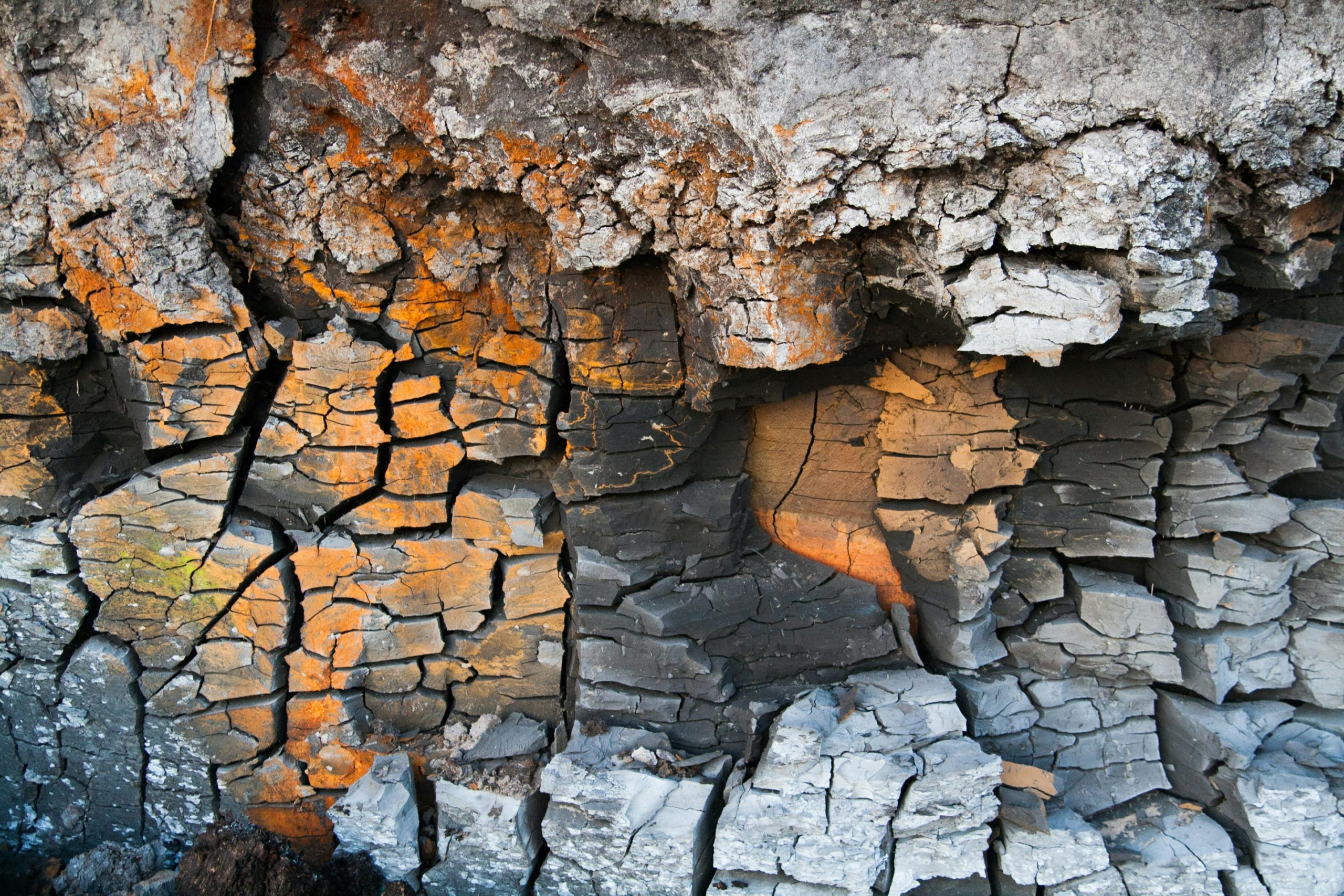
Soil colour in a freshly dug hole. Dig a small hole about 40–60 centimetres into the ground. Soil that has been regularly waterlogged develops what geologists call gleying — a distinctive blue-grey or greenish-grey mottled colouring caused by iron reduction under anaerobic (oxygen-deprived) conditions. Red or brown soil is generally well-drained. Grey-blue mottled soil means the ground has been saturated for extended periods. This is visible even during the driest months.
Termite mounds. This one surprises people. Termite colonies are killed by flooding, so termite mounds are almost exclusively found on well-drained, higher ground. A plot completely lacking termite mounds in a region where they are common nearby is often a sign that the land floods regularly enough to prevent colony establishment.
The name of the place. In Kenya, many place names are derived from Kikuyu, Luo, Maasai, or other languages and directly reference water. Names meaning “river,” “swamp,” “marsh,” “wet ground,” or “place of water” in the local language are centuries of collective memory encoded in geography. If the area’s name references water in any form, take that seriously.
Neighbouring plots that are raised or filled. If surrounding properties have visibly added fill soil to raise their ground level — especially recently — this is a strong signal that previous owners experienced flooding and responded to it. A plot at original ground level surrounded by raised neighbours is now relatively lower, making it more, not less, vulnerable.
The absence of deep-rooted trees on flat ground. Large trees with deep root systems — such as mugumo (fig), crotons, and many hardwoods — will not establish themselves in soils that are waterlogged for months each year. Flat land near water that supports only shallow-rooted grasses, reeds, or small shrubs often indicates the water table rises too high for tree roots to survive.
Satellite and aerial imagery. Using Google Earth’s historical imagery slider (available for free), scroll back through images from different years, particularly April and May. In many flood-prone areas, you can directly see open water, brown inundated fields, or visibly saturated ground in high-rainfall years. Comparing 10 years of imagery on a single plot takes less than five minutes and can reveal patterns no seller will ever voluntarily disclose.
9. Factor in Kenya’s Climate Trajectory
This is the forward-looking consideration that many buyers ignore entirely.
Kenya is not simply experiencing “normal” weather that is slightly worse than usual. Climate scientists, as cited by a 2024 World Weather Attribution study, found that climate change has made devastating rainfall events in East Africa twice as likely as they were in the pre-industrial era. Rainfall is increasingly concentrated into shorter, more intense bursts.
Critically, the 2026 floods arrived after months of severe drought. When parched, hardened ground receives intense rainfall, it cannot absorb the water, making flash floods dramatically more dangerous than they would be if the rain arrived gradually. This pattern of extreme drought followed by extreme flooding is what scientists call climate whiplash, and East Africa is among the regions experiencing it most severely.
Land that flooded once every ten years may now flood every three. Land that never flooded before may flood now. Your risk assessment must account not just for historical patterns, but for a future in which those patterns no longer hold.
A Final Note: Due Diligence Is Not Optional
Kenya’s current flood tragedy is not simply a story about rain. As historians of Nairobi’s urban planning have noted, the city was originally described as “a bleak, swampy stretch of soppy landscape” — it was built on flood-prone ground and has spent over a century forgetting that fact. Each rainy season brings the reminder back.
The same is true across the country: floodplains exist because floods created them, and floods will always return to claim them.
Before you buy land in Kenya, treat flood risk assessment with the same seriousness as title deed verification. The legal status of land means nothing if it disappears under two metres of water every March.
Check the elevation. Measure the distance to water. Read the soil. Ask the neighbours. Visit in the rain. Consult the maps. And look forward, not just back.
Your land should be an asset that grows — not a risk that floods.
Sources: 2026 Kenya Floods (Wikipedia); Daily Nation — “Kenyan Floods: The Making of a Disaster” (Sean Avery, March 2026); Inside Climate News (March 2026); Al Jazeera (March 9, 2026); World Weather Attribution Study 2024.



Join The Discussion